


.jpg)


.jpg)


Context
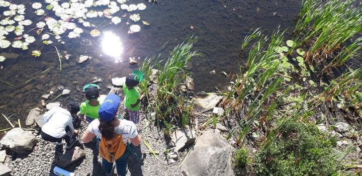
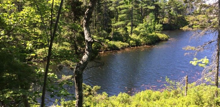
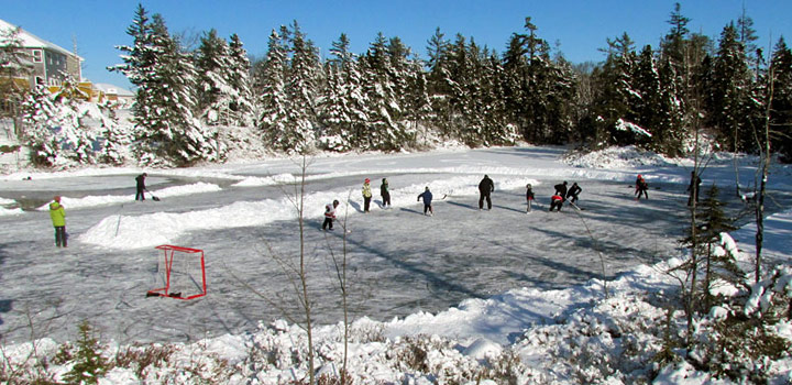
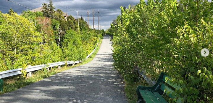
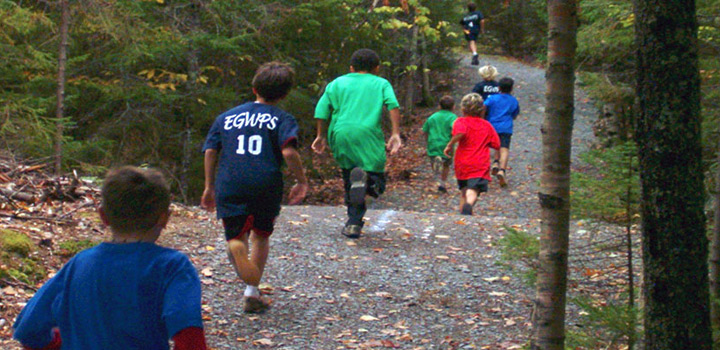
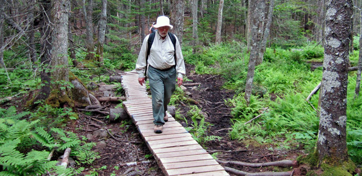
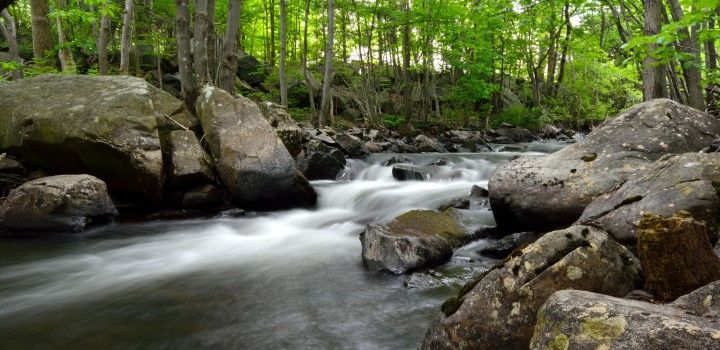
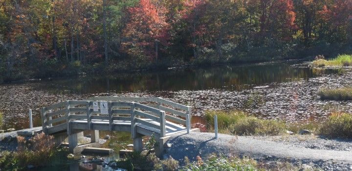
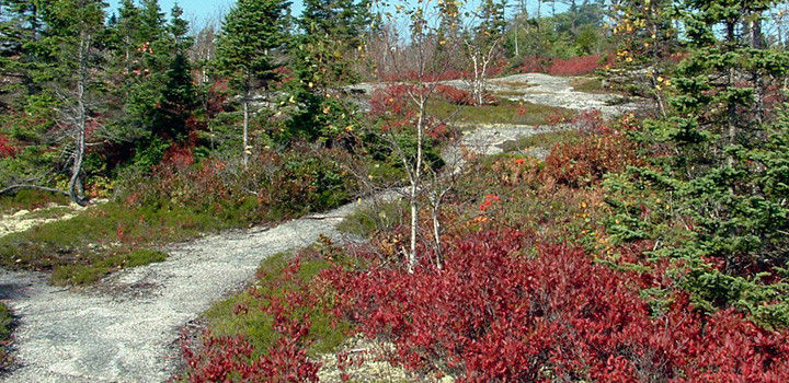
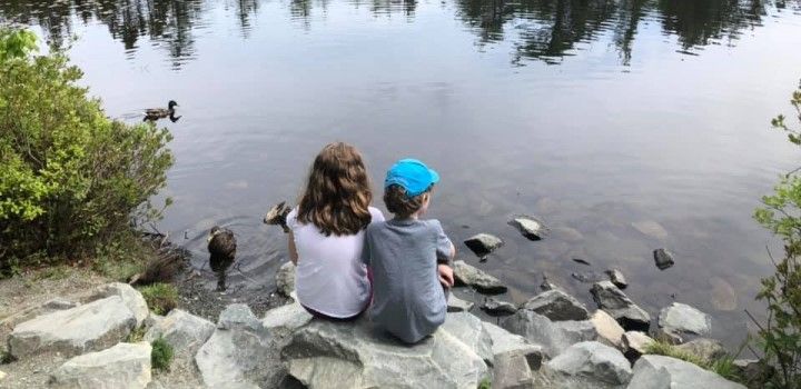
The Mainland Common Nature Trails are nestled in the heart of Clayton Park West in the Mainland Common. They provide access to roughly five acres (20 h) of young, mixed forest and biologically rich wetlands, on a rolling topography of streams, bluffs, and exposed bedrock. This area features a network of foot paths, ranging from informal and rugged paths to developed woodchip and gravel paths which make connections between neighbourhoods and municipal facilities on the Mainland Common. They offer opportunities for all ages includes walking and hiking, nature observation and education, snowshoeing, trail-running, birdwatching and geocaching.
The neighbourhoods in the surrounding area, including Fairview, Clayton Park and Clayton Park West, are continuing to develop. With increased residential density and use of this trail network, the formalization and expansion of these trails is a top priority to ensure both the safety of users and the protection of this natural landscape.
Management
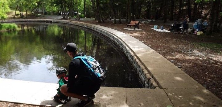
The Mainland Common is an area of municipally owned land that was designated in 1992 to be used toward filling the recreation needs of Halifax. Since then, many amenities have been added - a library, soccer facility, high school, recreation centre and pool, bus terminal, outdoor soccer fields and a dog park. While a large area of the Mainland Common is managed by the Halifax Regional Municipality for specific active uses, a 2008 Master Plan designated some sections of the area to be preserved specifically for passive recreation. These areas include Mary Clayton Memorial Park, as well as the area of woods and wetlands where the proposed Nature Trails are located.
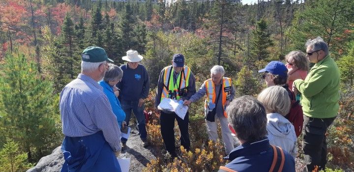
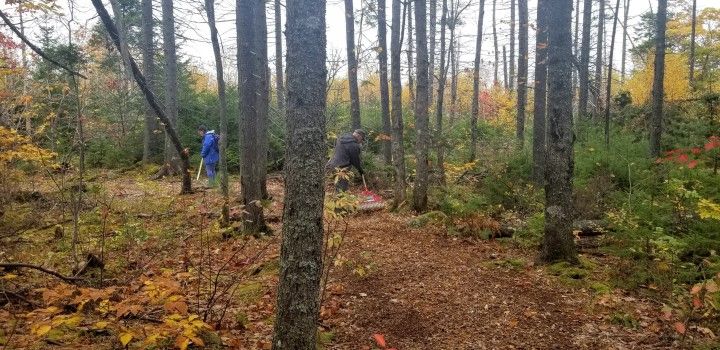
The HRM is the owner of the land, manages the Mainland Common, and constructed several trails in this area in the 1980’s. However, local community groups have spearheaded the maintenance and further development of trails in this passive recreation area. Some of the existing trails were established initially by the HRM in the 1980’s, and many trails were created initially by visitors exploring and geocaching. The Halifax North West Trails Association (HNWTA) has worked in partnership with the HRM and local organizations to formalize pieces of this trail network by maintaining trails, improving trail surfaces, installing signs at entrance points, and leading community walks and events in this area.
Guiding Concepts
In keeping with the HRM’s 2008 Mainland Common Master Plan, the 2018 Halifax Green Network Plan, and the 2017 Nova Scotia Accessibility Act, the Mainland Common Nature Trails and the area of the Common they fall within should be developed and maintained for these three primary goals:
- to promote healthy living by providing space for free, low-impact, nature-oriented passive recreation;
- to improve the connectivity of existing trails and parks, making active transportation a more convenient and attractive option; and
- to provide barrier-free access to active transportation routes and nature experiences wherever possible
Key Connections
Because of the central location of these trails, they are well positioned to provide convenient connections between surrounding high-density residential neighbourhoods and the public amenities located within the Mainland Common. For example, high school students living on Washmill Lake Drive may walk these trails to school, a family living in the future developments south of the trail network may need a way to easily get to the Lacewood Bus Terminal, or a retiree living in an apartment on Regency Park Drive may want to take their dog to play in the off-leash dog park at the end of Westridge Drive. Some of these users will be willing to walk on rugged wilderness trails, but others would prefer or require a more accessible and direct route.
Key connections are needed to provide direct routes between residential centres and destinations, and to connect existing and future active transportation routes.
Nature in the Neighbourhood
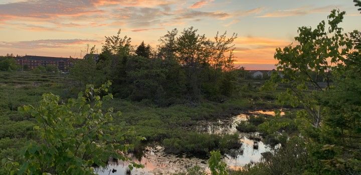
This piece of land is a pocket of intact wilderness that has been preserved in a rapidly urbanizing area of Halifax. As the surrounding neighbourhoods become denser, this pocket of the Mainland Common will be an important refuge for wildlife and a cherished space for reflection, connection and passive recreation.
It will be important to balance the increasing need for improved access with the impacts of infrastructure development on the natural environment. Recognizing this, the trail network should include a range of trail facilities, from universally accessible active transportation connections to low-impact wilderness paths, so that the area may be enjoyed by a diversity of users and promote a variety of experiences.
Context-Specific Design
It is important that the natural qualities of this area continue to be highlighted as the trail network is developed. To ensure this the type of uses promoted, the points of interest the trails lead to, and the placement of trails themselves should be informed by the natural landscape. Similarly, to ensure that the values and needs of the people in the neighbouring communities are met, their input is important in informing the development of this site.
The following activities were instrumental in the development of this plan:
- Site visits by UPLAND and Cobequid Consulting
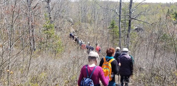
- Community trail-walk events facilitated by the Halifax North West Trails Association
- Public open-house event hosted at the Keshen-Goodman Library to present and receive feedback on the plan.
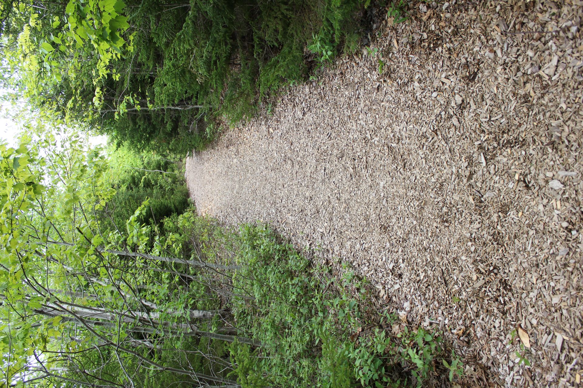
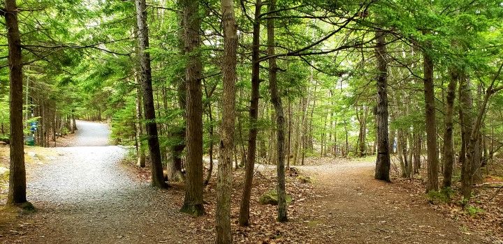
Portion of existing loop trail with wood chip surface
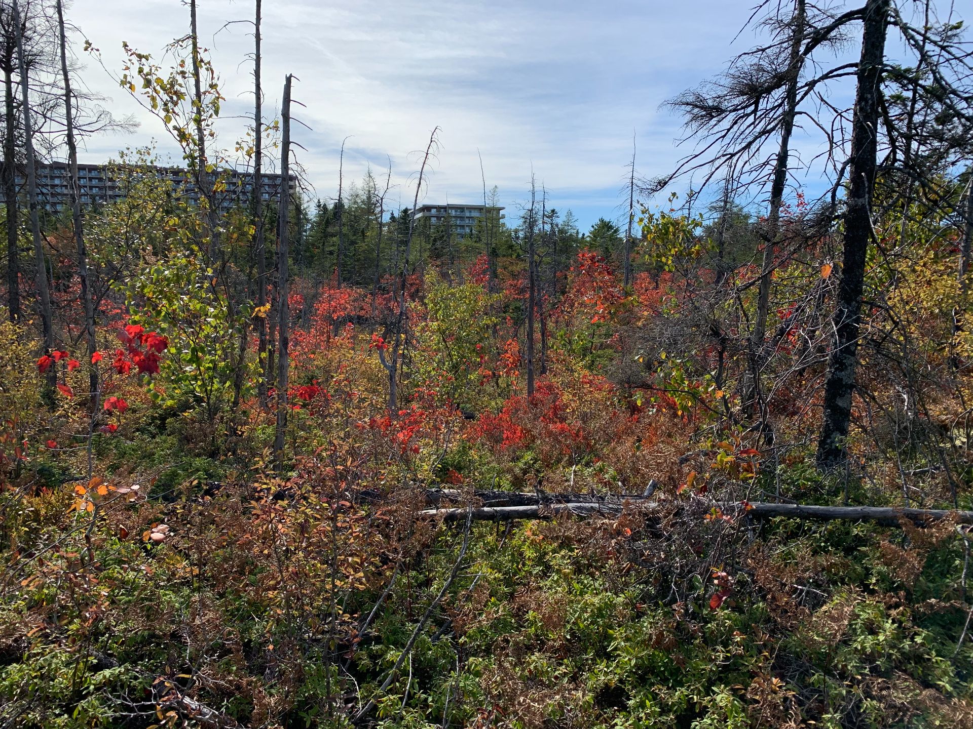
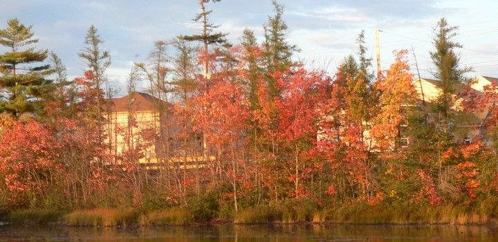
Hardwood forest area with Regency Park Dr. buildings in background
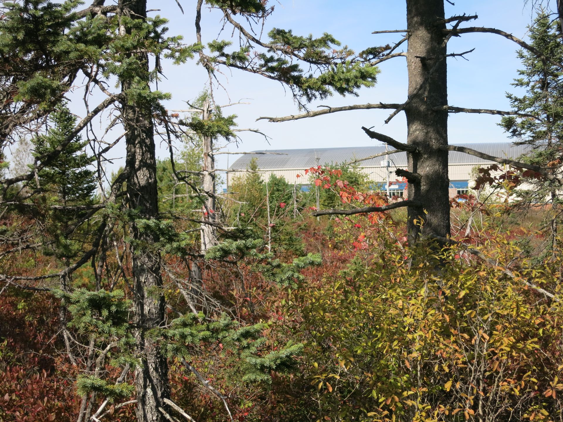
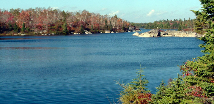
Study area with BMO Soccer Centre in background