


.jpg)


.jpg)


Signage
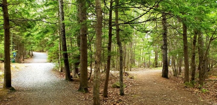
As usership increases and the formalized trail network expands, effective wayfinding signs will be necessary to help people nagivate the trails. Existing trailhead signs will also need to be updated to reflect the new trail network, and on-trail interpretation signs should be installed so that users can learn more about unique characteristics of the area.
Primary Trailhead Signs
At several of the access points there are large trailhead signs featuring a map and some information about the network. These locations are where the majority of people enter the trail network, and have ample parking. As the trail network is updated, the trailhead maps will need to be updated to reflect the changes. The placement of these signs could also be improved in many cases to make the signs more convenient for users who are about to enter the trail network. These trailhead signs are a great place to identify the location of amenities that users may be wishing to access via the trails as well as distances to them, which could encourage more people to use the trails to get from place to place. The trailhead signs should also state trail rules, which will become more important as the population in the surrounding neighbourhoods and usership of the trails increases.
Proposed Primary Trailhead Sign
Secondary Trailhead Signs
There are several access points for the trail network that are in lower-traffic areas where there is not significant parking. At these locations, a smaller, pared-down version of the trailhead sign could be used to provide a trail map and any other essential trail information for trail users entering at these secondary trailheads.
Proposed Secondary Trailhead Sign
Wayfinding Signs
This trail network is comprised of several interconnected loops and has the potential to disorientate and confuse users. At all trail junctions within the trail network there should be small wayfinding signs that include a small map of the trail network and identify where the user is located.
Proposed Wayfinding Sign close-up
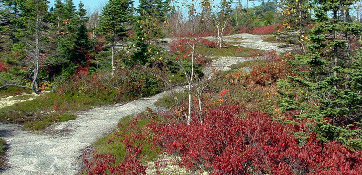
Interpretive Signs
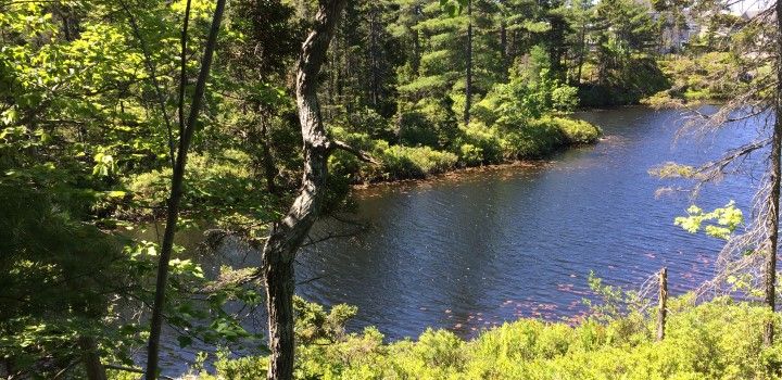
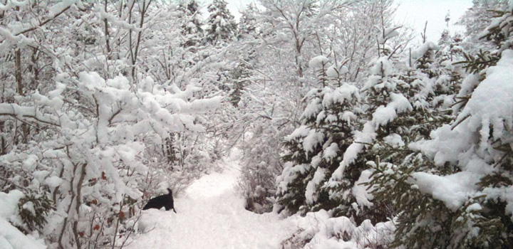
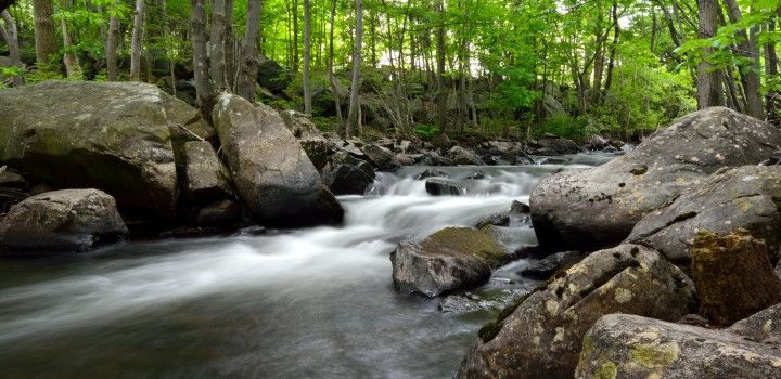
This area is rich with biodiversity due to its varied landscape and ecosystems. There are currently two large interpretive panels on either side of the small wetland which identify some of the species of plants found there, such as pitcher plant, huckleberry and Labrador tea. Similar smaller interpretive signs could be installed overlooking the larger wetland, identifying additional plants and animals visible in and around that wetland. Another possible site for interpretive signage is on the woodchip trail near an area of blowdown from Hurricane Juan where a young tree stand is growing. The panel could illustrate the process of succession and natural restoration after forest disturbance events.
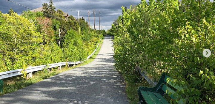
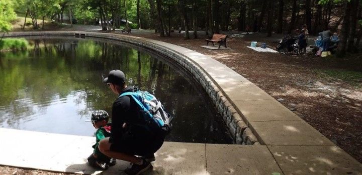
Rest Areas
To make longer walks possible for a greater range of abilities, it is important to install seating within the trail network so that people have comfortable places to stop and rest on their walk. Providing seating within the trail network at scenic locations would also promote taking time to be still, reflect, and enjoy the natural area.
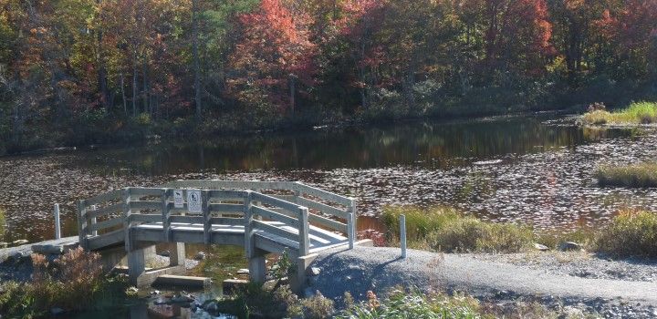
Seating could take the form of traditional park benches or picnic tables, or could make use of natural materials or features to construct unconventional seating. Recommended locations include several points overlooking the two wetlands (locations A, B and C on the facing map), as well as at a trail junction near a steep trail section where walkers may need a rest (See location D on linked map below).
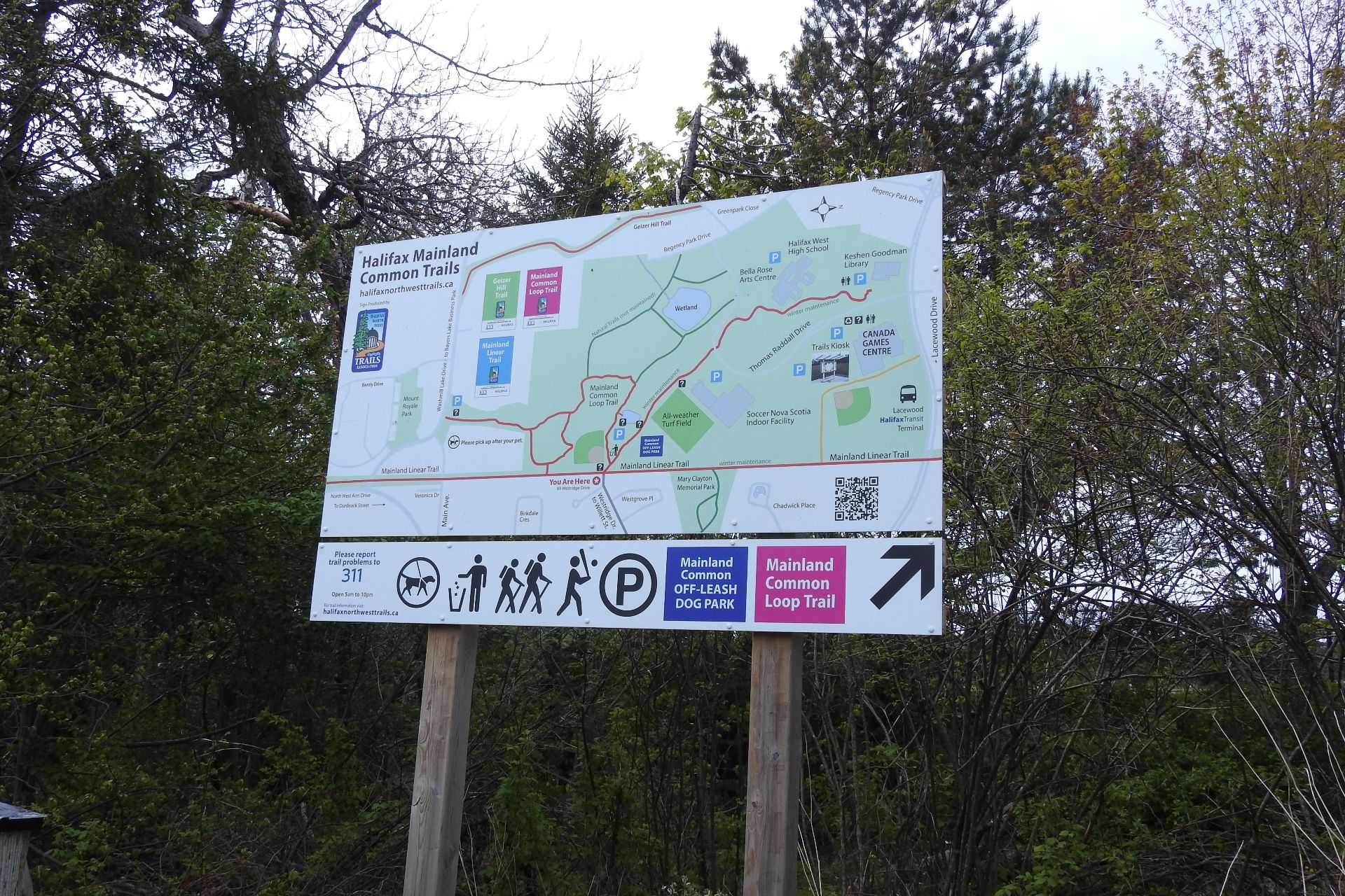
Existing Trailhead sign at top of Westridge Dr.
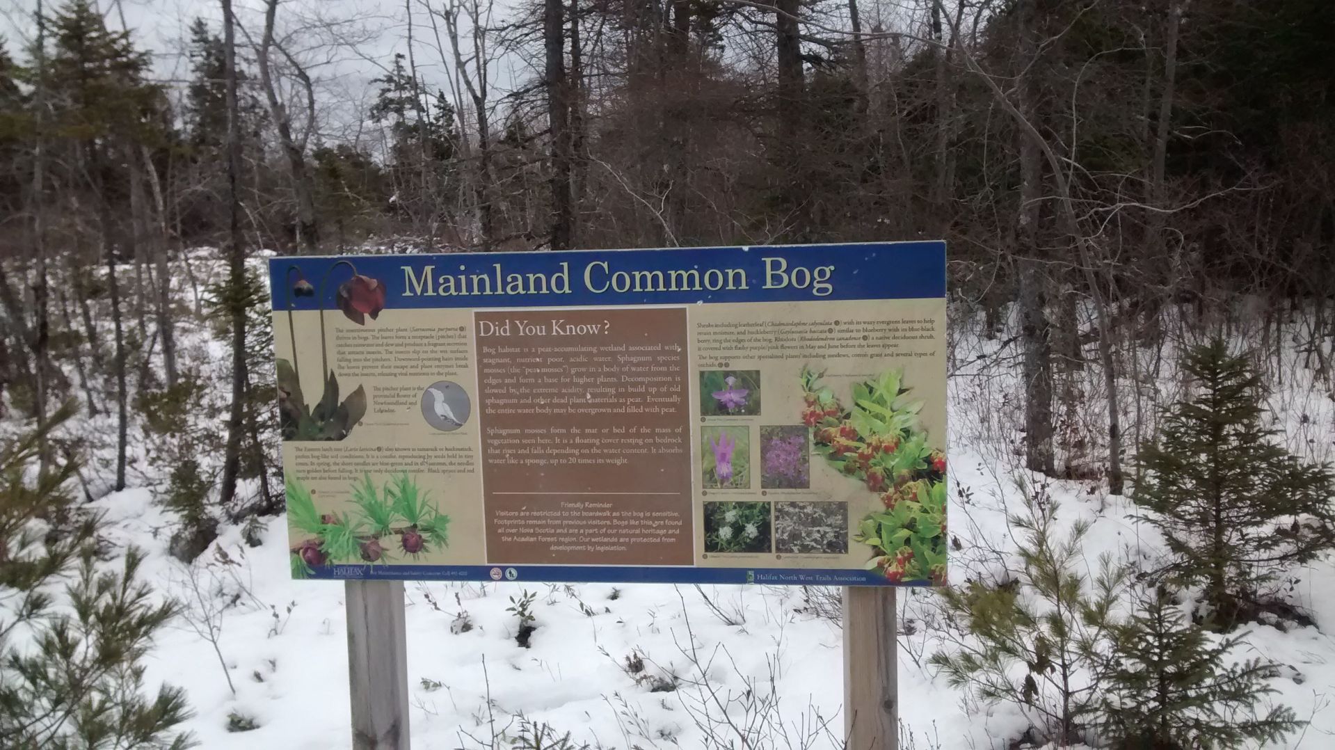
Existing interpretive sign overlooking bog
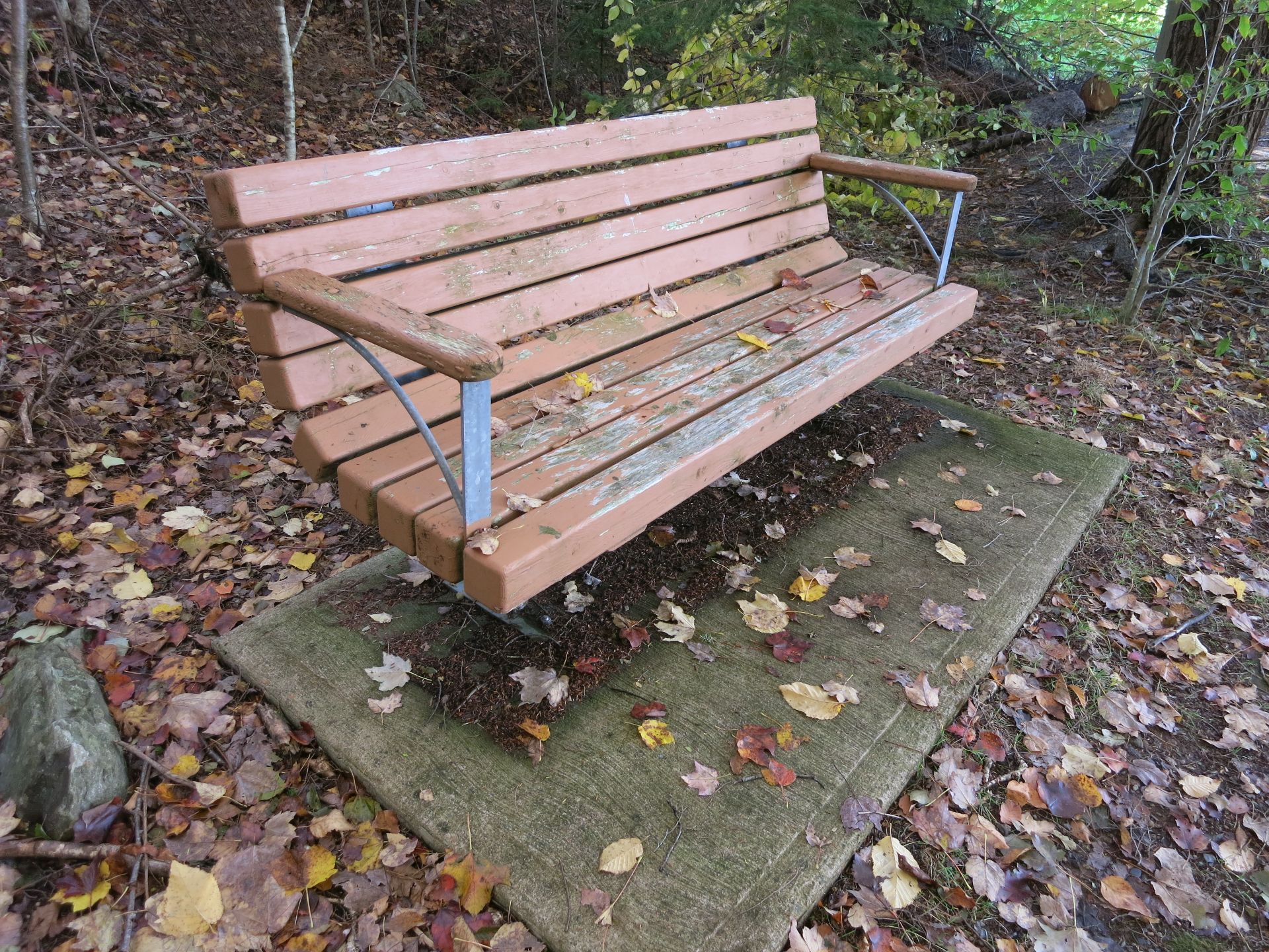
Example of bench type